


WINTER WEATHER ADVISORY NOW IN EFFECT UNTIL NOON PST TODAY... * WHAT...Snow. Total snow accumulations of up to 3 inches are expected. * WHERE...Western Strait of Juan de Fuca lowlands, including Joyce. The north coast, including Forks. The central coast, including Humptulips * WHEN...Until noon PST today. * ADDITIONAL DETAILS...The areas most likely see accumulating snow will be on the hills and away from the water. Plan on slippery roads, and be prepared for reduced visibilities at times.
HIGH SURF ADVISORY IN EFFECT UNTIL 2 PM PST THIS AFTERNOON... The National Weather Service in Seattle has issued a High Surf Advisory, which is in effect until 2 PM PST this afternoon. * WAVES AND/OR SURF...WESTERLY SWELL IS NEAR 20 FEET. * SOME AFFECTED LOCATIONS...EXPECT DANGEROUS HIGH SURF ALONG THE BEACHES. * TIMING...DURING THE DAY TODAY...SEAS WILL SUBSIDE TONIGHT. * IMPACTS...DANGEROUS CONDITIONS FROM SNEAKER WAVES AND BREAKERS ON AND NEAR THE JETTIES AND BREAKWATERS. PRECAUTIONARY/PREPAREDNESS ACTIONS... A High Surf Advisory means that high surf will affect beaches in the advisory area, producing localized beach erosion.
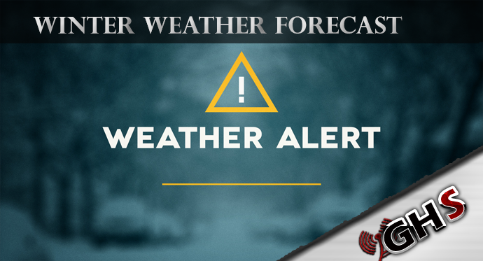
2 Weather warnings from the National Weather Service, one being extended Winter Weather and Snow, the other being a High Surf Warning. Details below