


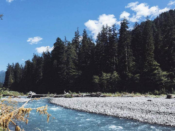
Near record, warmth is expected across the interior of Western Washington today as a ridge of high pressure aloft moves across the area. Temperatures this afternoon near the Cascades and in the interior from Seattle and Bellevue southward will reach the lower to mid-80s. Other areas will see temperatures well into the 70s.
The summertime warmth will come to an abrupt end on Friday as a cold front moves east across the region. High temperatures on Friday are expected to be 15 to 20 degrees cooler than today. Winds up to 20 mph combined with clouds and some light precipitation will make it feel even colder. Snow levels in the mountains will fall from around 12000 feet today to 7000 feet on Friday.
An upper-level trough will move across the area on Saturday giving showers and cool conditions to the area. Temperatures in the lowlands will struggle to go over the 60-degree mark Saturday afternoon. In the mountains, snow levels are expected to fall to around 5000 feet
Last day of the warm summer-like temperature today, Thursday. Expect cooler weather starting Friday.